


Local risk index
Humidity, temperature and wind combined at each station. You see on a map which spots are at high risk.
Sensors in the forest and along its edges measure air humidity, temperature, wind and combustion gases. When conditions turn dangerous or smoke is detected, the people in charge are told at once.
In a Greek summer, low humidity, high temperatures and strong wind create conditions where a small fire spreads very fast. Risk forecasts give a picture per region, but conditions on a specific slope or ravine can differ. A station at your site shows what is happening there, every few minutes.
Next to the weather stations we place combustion gas sensors, which react to smoke and to gases such as carbon monoxide. LoRaWAN covers kilometres in open terrain, with gateways powered by solar panels and connected over 4G or Starlink. The system supports patrols, lookout posts and the Fire Service. It does not replace them.
Humidity, temperature and wind combined at each station. You see on a map which spots are at high risk.
Sensors that react to smoke and gases from burning vegetation. They can give an early sign of a fire near the sensor.
Stations on the edges of villages, hotels and campsites next to forest. That is where early warning matters most.
Volunteer teams and municipalities see conditions in real time and organise patrols at high-risk spots.
Level sensors in water tanks and cisterns. You know the water is there before you need it.
Soil and surface vegetation moisture sensors show how dry the fuel on the forest floor is.
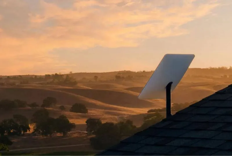
Each reading travels wirelessly over LoRaWAN, is stored and checked against the limits you set.
Wireless and battery-powered, with no cabling. Battery life depends on how often they send readings.
We study the area with you: vegetation, settlements and the paths of past wildfires.
We choose sites for stations, gas sensors and gateways, and check LoRaWAN coverage across the terrain.
We install the equipment in spring, so the system is tested before the fire season.
We set risk limits and an alert chain: who is told first, and who is told next if there is no response.
We check batteries, sensor cleanliness and communication before and during the fire season.
The people in charge see real conditions at each spot, not just a general forecast.
Teams go first to where humidity is lowest and wind is strongest.
Gas sensors work around the clock and can give an early sign in places nobody is watching.
Can't find what you're looking for? Call us or send us a message.
Tell us the area you care about and we will design a network of stations with you before the fire season.